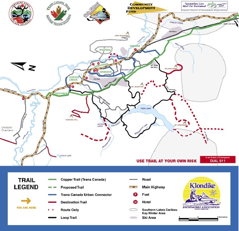
Yukon Snowmobiling Maps
Trans Canada Trail: Trans Canada Trail has an excellent interactive map of the entire Trans Canada Trail, including the Yukon sections, available on their website.

City of Whitehorse Interactive Trail Map: The City of Whitehorse website has an interactive trail map which includes most trails within the City. This map uses layers to allow users to view all trails or only specific types of trails, and also includes details such as surface type, activities allowed on trail, difficulty rating, etc. The map can be viewed online or printed for off-line use.

Polaris Ride Command: Polaris Ride Command is free map service that can be used on their website, in an app on your phone and tablet, or directly on the digital dashboard display of many newer Polaris snowmobiles. Ride Command includes detailed snowmobile trail maps and several other handy features for snowmobilers. Maps are accessed through internet and can be downloaded and saved for later use in areas without internet. Many of the Yukon’s multi-use trails are already featured on the Ride Command map and more are being added regularly!

BRP GO!: BRP Go! is a free map service that works on their website, on your phone and tablet devices, or if you operate Ski-Doo, Lynx or other BRP products directly on the digital dashboard display of many newer models. Maps are accessed via internet and can be downloaded for later use in areas without internet. Many of the Yukon’s multi-use trails are now featured on the BRP Go! map during the snow season, and more are being added regularly!