Trail Classification and Signage
For easier navigation, trip planning, and general reference, the Klondike Snowmobile Association has colour coded most of our trail markers into four categories – Trans Canada Trail, Connector Trail, Loop Trail and Destination Trail – and categorized them into five classes ranging from Urban to Wilderness to Approximate Route Only…
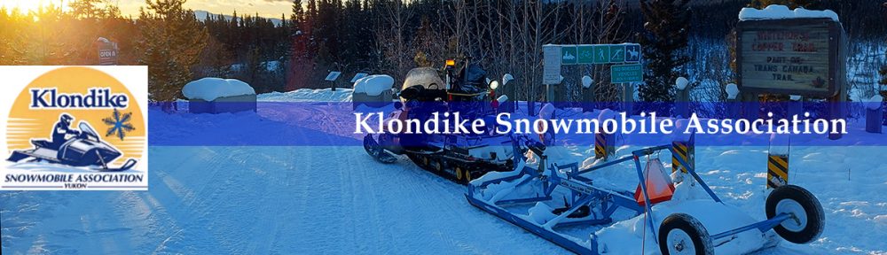
Trail Signage:
GREEN SIGNAGE indicates Trans Canada Trail
BLUE SIGNAGE indicates a connector trail to/from the Trans Canada Trail
WHITE SIGNAGE indicates a loop trail
RED SIGNAGE indicates a one way in/out destination trail
Trail Classifications:
1: Urban
– Smooth hard surface
– Full trail signage
– Services on or near trail
– Detailed maps available
– Most have full cell phone service
– Many are wheel chair accessible
2: Rural
– Improved surface
– Good signage
– Some services near trail
– Basic maps available
– Areas of limited or no phone service may be encountered
3: Wilderness
– Surface condition will vary
– Some signage
– Usually no services in the area
– Expect sections of no cell phone service
– Expect occasional stream crossings with no bridge or culvert
– Self sufficiency is required
– Wilderness survival equipment and knowledge is recommended
– Encounters with wildlife are likely
– Extreme weather conditions possible
– Always travel with someone who knows the area
– Tell someone where your going and your estimated time of return
4: Remote
– Un-improved surface
– Minimum signage
– Basic maps available for some trails but not all
– No services on or near trail
– Expect no phone service for most of the route
– River crossings with no bridges may be encountered
– Encounters with wildlife are likely
– Extreme weather conditions possible
– Self sufficiency is required
– Wilderness survival equipment and knowledge is required
– Always travel with someone who knows the area
– Tell someone where your going and your estimated time of return
5: Route only
– A designated route only, not an actual trail
– No surface improvements
– No bridges or other infrastructure
– No signage
– Maps indicating route may not be available
– Usually no phone service for most of the route
– Help may be multiple days away
– Many of these routes are rarely travelled, breaking trail will often be required
– Wilderness survival equipment and knowledge is required
– Extreme weather conditions possible
– Encounters with wildlife likely
– Always travel with someone who knows the area
– Tell people where you’re going and your estimated arrival time
