
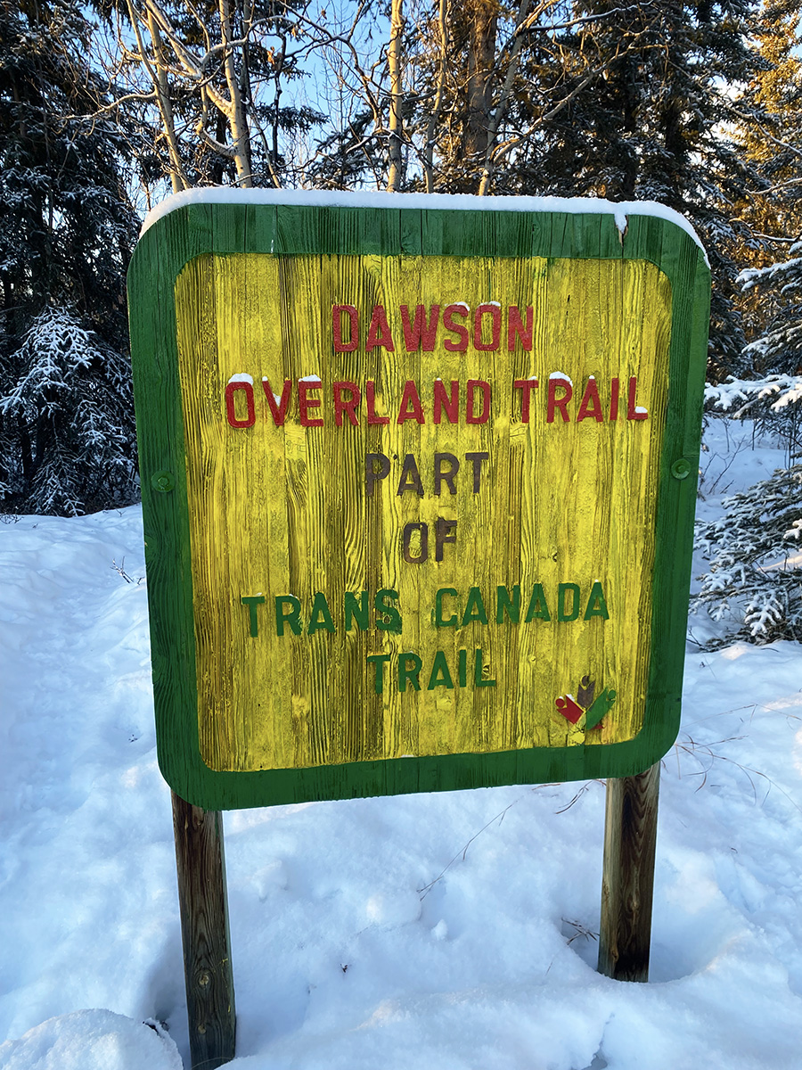
Dawson Overland Trail
During the Klondike Gold Rush of the late 1800s, and for many years before and after, the quickest way to get from the southern areas of the Yukon up to the Klondike area was via the Yukon River. In those days life in the territory was governed by whether the river was open or frozen. During the summer months boats of all shapes and sizes plied the route, but once winter set in and the river froze only experienced mushers and dog teams braved the journey.
Travel was cheap and easy during the short Yukon summer, but once winter set in transportation was slow, dangerous, and bitterly cold.
During the winter of 1899-1900 the Canadian Development Company used dog teams to carry mail and light freight along the river between Whitehorse and Dawson City. It gradually replaced dogs with horses the following year. In 1901 the White Pass & Yukon Route Railway bought out the company in order to gain the lucrative government mail contract for its stern wheeler boats.
In 1902 the Yukon government issued a contract to build the first winter road between Whitehorse and Dawson City. Construction began that summer and the road was completed in November. It was 530 km (330 miles) long – shorter than the river route by about 112 km (70 miles) – and was built at a cost of $129,000 (equivalent to over $3,500,000 in 2025 dollars). This winter road between Whitehorse and Dawson City became known as The Dawson Overland Trail, and it marked the beginning of a new era of transportation in the Territory.
Winter travel between Dawson and Whitehorse was still bitterly cold and took about a week, but the new overland trail was substantially safer and easier than navigating the river ice and it also allowed for much more consistent scheduling and load capacity. For Dawson area residents, this was the first time in history they had a reliable link to the outside world for more than a few months of the year.

During the 1950s the Mayo Road was constructed which is a modern vehicle highway connecting Whitehorse with Mayo and a few smaller communities in between. Not long after opening the road was extended to Dawson City, and the route was officially named the North Klondike Highway. Almost immediately the new highway effectively replaced the slow and rough Dawson Overland Trail and to this day is the main route for people and cargo coming in and out of Dawson City and the Klondike region.
Most of the original route of the Dawson Overland Trail remains however, and offers hardy travelers a challenging path back in time. Many artifacts and a few buildings are still in place along the trail as evidence of its colourful history.
Unfortunately the Dawson Overland Trail has deteriorated in many places with large sections of swamp and several creek crossings making travel difficult. Some sections are badly overgrown and others intersect with a variety of other trails. Travelers – even experienced ones – risk getting lost, so it’s recommended that you only travel with someone who knows the trail well. Several large rivers make the complete journey impossible during the summer months without water transport. The full trail is not an easy journey, but luckily there are some sections of it which are maintained and are suitable for day trips…

The Takhini River to Braeburn section is maintained and is open for adventure! This section of the Trans Canada Trail is almost exactly 100 km long; starting at the staging area on the Takhini River Road, (near Takhini Hot Springs) and ending at Braeburn Lodge. Though the trail is generally marked and somewhat maintained, it is still very much a remote wilderness trail with little traffic, no services, and no cell phone service – a true class four wilderness trail.
In recent years several beavers have made the area their home, so there are multiple sections of the trail which are often muddy and flooded, making summer travel difficult. Trail users must bring suitable supplies and equipment with them and always travel with someone who knows the trail well. Regular users of this trail include snowmobilers, mushers and skiers in winter and hikers, mountain bikers, horse riders and ATVers in summer.
Along the trail from Takhini to Braeburn travelers will be passing in the vicinity of several active trap lines, hunting areas, and a variety of First Nations lands. There are many Yukoners who depend on these areas as a primary food source, so please travel respectfully and stay on designated trails as much as possible.

At the half way point on this section the K.S.A. has constructed a small warm up cabin. Co-ordinates 61.1315° N, 135.9828° W. It offers trail users an enclosed dry shelter with wood stove and bunk bed, and nearby is ample snowmobile parking, outdoor fire pit and a picnic table overlooking a beautiful view. Anyone is welcome to use it as a place to take a break, warm up, cook some lunch, or stay a night if you need to. All we ask in return is please respect our cabin and all that use it by leaving the cabin and surrounding area clean, in good shape and ready for the next guest. It was built by volunteers using donated materials, and is unmaintained. How you leave it is how the next group will find it.
Detailed and updated maps of the Whitehorse to Braeburn section of the Dawson Overland Trail have been uploaded into Polaris Ride Command, BRPGo! and the Trans Canada Trail map. Please see our Maps page for links and more information.
The Klondike Snowmobile Association is now making a renewed effort to organize a yearly group ride from the Takhini River staging area to Braeburn and back. We usually do the trip some time in February or March. Experienced members will lead the way and everyone is welcome to participate, however please be aware this is an all-day adventure riding more than 200 km on remote wilderness trails, and each participant will need to bring a reliable snowmobile, dress warm, and carry adequate food, gear, fuel, etc. Please check our Events page for details and updates.
